Cost of living podcasts (from CACI)
CACI is a data, insight and technology company. They procure and develop datasets and insights to help us understand the world we live in. They have recently released a series of podcasts where subject matter experts discuss what the data shows us about the cost-of-living crisis and what this might mean.
Local Insight Ward Profiles (May 2022)
This suite of profiles was generated in May 2022. We will continue to download more up-to-date profiles and publish them in the ‘Opportunity Bucks’ Resources section of the Bucks Data Exchange.
LEP Economic Ward Profiles (2023)
Economic profiles for the 10 Opportunity Bucks wards (2023)
How were the 10 Opportunity Bucks wards identified? (2021)

A summary of the inequalities data used to identify the 10 Opportunity Bucks wards (2021)
What is Opportunity Bucks?

Opportunity Bucks is our local partnership approach to levelling up, working in partnership across the county to improve outcomes for people across the county who are experiencing the most hardship. Our aim, through the Opportunity Bucks programme, is to ensure that everyone in the county has the opportunity to succeed, that we grow together as a place and that nobody is left behind.
Greenhouse Gas Emissions
The Department for Energy Security and Net Zero publish national statistics on UK local authority and regional gas emissions. The greenhouse gases covered by these statistics are carbon dioxide, methane and nitrous oxide. In accordance with international reporting and carbon trading protocols, each of these gases is weighted by its global warming potential (GWP), so that total greenhouse gas emissions can be reported on a consistent basis (in carbon dioxide equivalent units). The GWP for each gas is defined as its warming influence relative to that of carbon dioxide. The GWPs used in these statistics are from Working Group 1 of the IPCC Fifth Assessment Report: Climate Change 2013.
Broadband Speed

Broadband provides access to internet services such as videoconferencing for work, tele-healthcare, access to job or property advertisements, and e-commerce. It is fast becoming an essential utility alongside water, gas and electric in UK homes. From March 2018, the Government set a legal minimum service obligation (LSO) of 10 megabytes per second (Mbps). Ofcom research shows that 10 Mbps is the minimum speed currently needed to meet an average household’s digital needs. It should be fast enough for multiple people in a household to be online at once.
Recycling
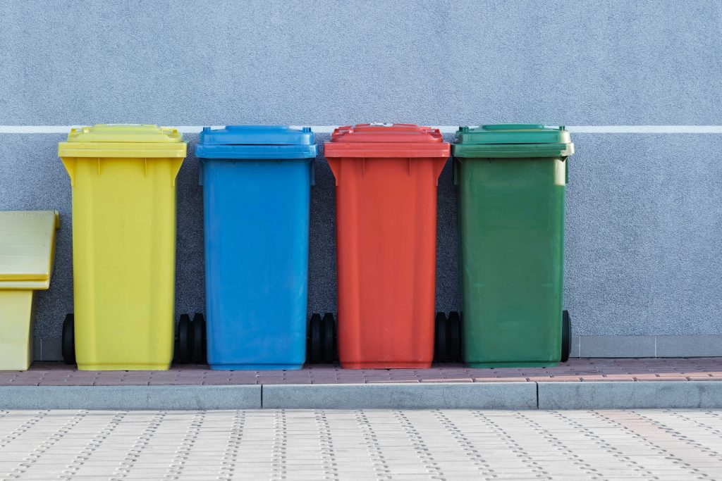
Recycling Rate data is the percentage of household waste sent for reuse, recycling or composting. It is derived from WasteDataFlow (web-based-system for municipal waste reporting by UK local authorities to Government). The WasteDataFlow system went live on 30 April 2004.
What happens to your waste?
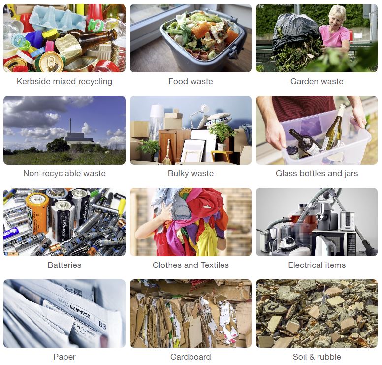
Find out what happens to the waste produced by homes in Buckinghamshire.
Climate Change and Air Quality Strategy
This document sets out the strategy by Buckinghamshire Council for helping achieve national air quality objectives and zero carbon ambitions. It details over 60 actions to address climate change and poor air quality regarding council operations, our work and contracts with partners and suppliers, and how we influence activity county-wide.