Search
Close this search box.

Map of Buckinghamshire

A boundary map is a map created for the purpose of outlining a boundary for an area and the areas next to it.

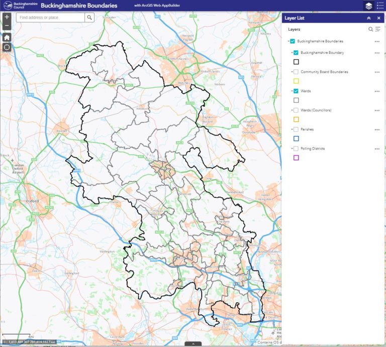
This is a boundary map of Buckinghamshire, which shows key roads and towns. It also provides selectable boundaries for Community Boards, Wards, Parishes and Polling Districts (updated when new boundaries are defined and provided).


If you click the link at the top of the page or the map itself, you will be taken to an interactive version of the map. The interactive version allows to select and deselect the layers such as Wards etc. plus you can zoom in an out to see the level of detail you require.

Related Data
Screenshot of code and data
Data

Broadband Speed

Broadband provides access to internet services such as videoconferencing for work, tele-healthcare, access to job or property advertisements, and e-commerce. It is fast becoming an

Read More »
Chart showing workforce profile in Buckinghamshire
Data

Workforce profile

This chart shows how the broad occupational profile of Buckinghamshire’s residents compares with the occupational profile of England as a whole.

Read More »
Peaceful image of people in a green park space
Community Safety

Feeling Safe

This chart shows the extent to which residents of Buckinghamshire feel safe in certain situations, as reported via the Residents Community Safety Survey.

Read More »
Pile of pound coins
Data

Universal Credit Claimants

Universal Credit supports residents who are on a low income or out of work. It includes a monthly payment to residents with their living costs.

Read More »